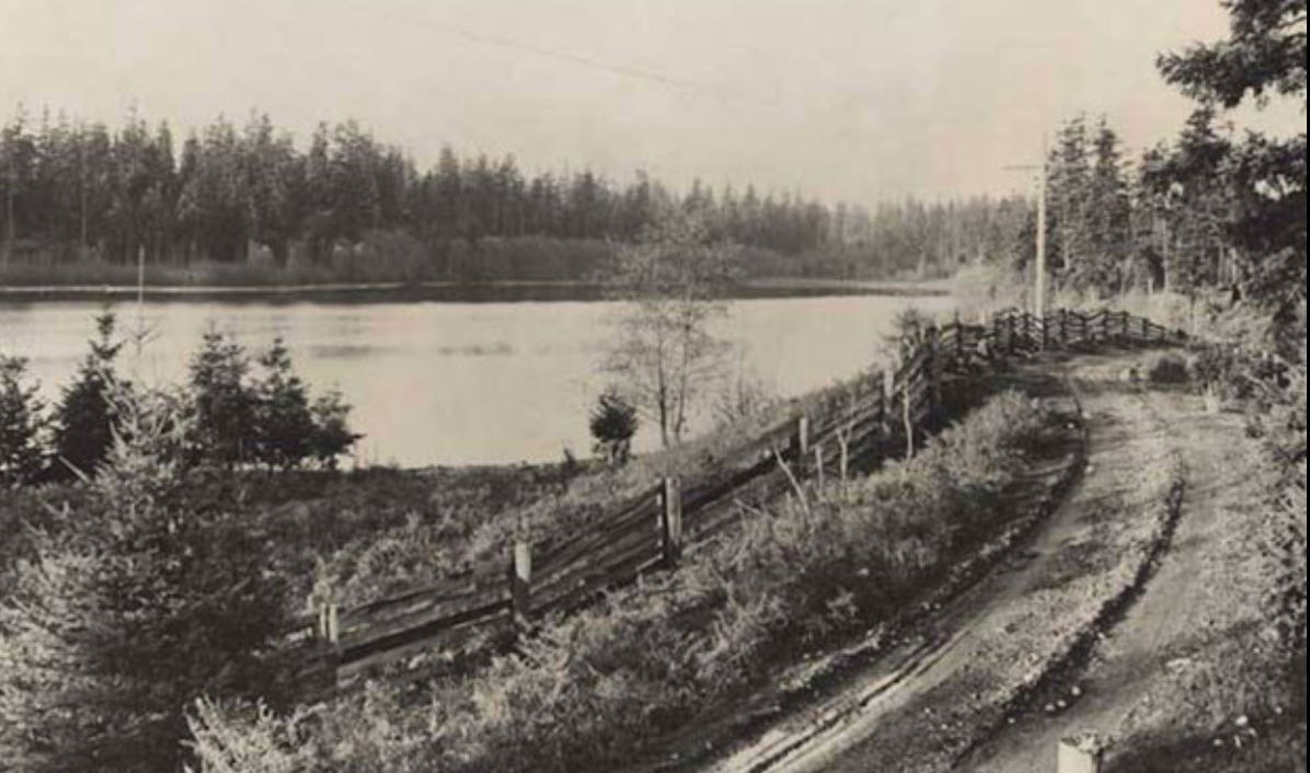
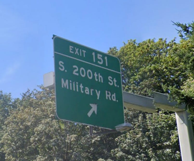
Driving south from Seattle the other day, I passed by a familiar but curious spot on Interstate 5—Exit 151 and access to Military Road. I had long seen this sign and wondered what it meant. Did the name have an official meaning and if so, when was it applied, or was it simply a name that someone thought would bestow upon the road a measure of significance? Turns out, the Military Road and its origin date back to the earliest days of Washington, when it first became an official Territory (in 1853), separated from its parent unit, Oregon.
In 1855, Territorial representatives sent a memorial to the United States Congress praying for money for a military road from Fort Steilacoom to Bellingham Bay, which “would, in a military point of view, be invaluable, to say nothing of the development of the resources of our Territory, and establishing communication between our people.”
Authorization and funding came in 1857 ($35,000, approved by Secretary of War Jefferson Davis), for one road south from Fort Steilacoom and one north to Bellingham, where a year earlier, a young Captain named George Pickett had been sent to build a military outpost. During Washington Territory’s first ever legislative session, in 1854, the representatives had also called for nine territorial roads, all centered around Puget Sound. A military road was one paid for by federal funds versus a territorial road, which used local money.
Between August 11 and September 20, 1857, topographical engineer Walter Washington Delacy and a team of nine Natives and settlers surveyed the entire 130-mile route of the military road north from Steilacoom. The following year requests for proposals for clearing a 25-foot swath and laying a 12-foot corduroy road (made of split cedar logs) began appearing in the Olympia newspaper. By 1860, crews had completed the road, though its primary travelers were settlers and residents and not troops, who would have found it easier to travel by steamer than on land. The southern portion of the road saw little use by the military as well; it was more valuable as a corridor for newcomers arriving from Oregon.
Despite the road’s attraction to newcomers, it could not withstand the weather. By late 1867, George Mendell of the Army Corps of Engineers was writing in a report “Overshadowed by tall evergreen trees, the sun can not reach it; shut in by dense undergrowth, the wind can not dry it; while the almost daily rains during a great part of the year keep it constantly muddy.” Ironically, Mendell had supervised construction of this road in 1857.
Historian Karen Meador, who has extensively researched the Fort Steilacoom to Bellingham Military Road, says that the importance of these roads is how they affected settlers. “Troops may not have used them but the roads showed that the U.S. Army was here to stay. They gave people confidence to travel and move into the area.” She further notes that much of the early housing was built along the military roads and around the forts, which facilitated connections between people who had moved to a landscape where overland travel was not always easy. In this way, the military roads, no matter how primitive they were and how they tended to revert to a muddy quagmire, helped to establish community in western Washington.

Vestiges of both military roads still remain in Puget Sound. (Link to google map I created showing routes labeled as Military Road.) North from Steilacoom there is the Military Road, which crosses Interstate 5 three times in south King County; State Route 522 near Kenmore; and State Route 9 north to around Big Lake, both of which trace the historic thoroughfare. Sections of State Route 99 and Interstate 5 north to Bellingham align with the DeLacy’s route, too. Other researchers have traced parts of the Military Road through Seattle. One can also find evidence of the southern road, in particular several sections labeled Military Road, in Spanaway, east of Tenino, west of Centralia, and west of Interstate 5 between Vader and Napavine.

My first review of Homewaters is out. By Dan Chasan, it’s on PostAlley. I think it’s quite dandy: incisive, detailed, and positive. If it compels you to buy the book, here’s how to do it.
Update: My talk in Tacoma this Saturday has been cancelled due to Covid. Here’s a list of my fall schedule of events. I suspect that it will change.


Oh you have inspired me to do this little visit along Military Rd. I grew up close to it in what is now SeaTac and Tyee High School. I found that brochure earlier this year and put it into my history folder. But it seems my never ending digging on Cedar Mountain Town & Mines consumed my time for these activities.
I have even been know to dream about the biggest search of all. The cemetery of Cedar Mtn. Do you dream about the history you investigate too?
If you want to know more about Cedar Mtn.... go to my blog at "Batgirl.net". Thanx for this lovely blog you have!!
Who knew? I had always assumed the name was because of the proximity to Joint Base Lewis-McChord. Which tells you I've only noticed it in that area, and not any of the others. Quite an interesting route from beginning to end!